Search Results
51 results found for:
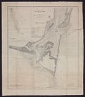
fullspatial:United States North Carolina Pitt County (N.C.) Greenville (N.C.)
View all North Carolina Maps material.
Currently viewing items 1 - 40
| Next |
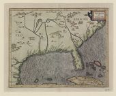
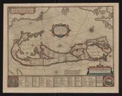
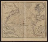
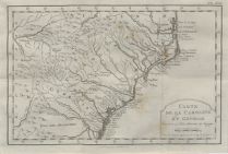
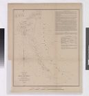
1597
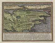
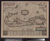
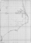
![Virginiae partis australis, et Floridae partis orientalis, interjacentiumq[ue] regionum nova descriptio](https://digital.lib.ecu.edu/encore\ncgre000\00000011\00010394\00010394.jpg)
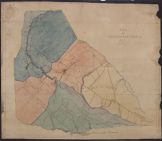
![Virginiae partis australis, et Floridae partis orientalis, interjacentiumq[ue] regionum, nova descriptio](https://digital.lib.ecu.edu/encore\ncgre000\00000011\00010393\00010393.jpg)


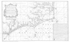


1775
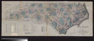

![Literary map of North Carolina prepared by the Literature Committee, Mrs. Mary Wyche Mintz, chairman ; preliminary idea by Nancy Kurka ; designed by Primrose [pseud. of Mrs. Francis Paschal]](https://digital.lib.ecu.edu/encore\ncgre000\00000011\00010410\00010410.jpg)
Currently viewing items 1 - 40
| Next |